Shreveport Roads Where Crashes Happen
Shreveport’s crash pattern is shaped by geography. Two interstates cross here, a river divides the city from Bossier, and the main commercial corridors mix heavy local traffic with fast through traffic.
Knowing where and why collisions happen is useful for avoiding them. It also matters afterward, because the roadway itself is often part of the evidence.
I-20
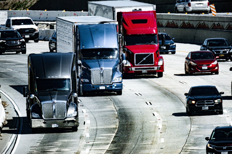
I-20 runs east and west through the middle of the city and carries substantial commercial truck traffic between Dallas and the Southeast. Freight volume combined with urban interchange density is behind a great deal of Shreveport’s serious crash activity.
The specific risks:
- Closely spaced interchanges that force merging and weaving in short distances
- Heavy truck volume sharing lanes with commuters
- Speed differences between through traffic and vehicles entering or exiting
- Construction zones with shifting lane configurations
A collision involving an 18-wheeler here is not an ordinary car crash. Truck cases involve federal regulations, multiple responsible companies, and electronic data that is overwritten quickly. Our guide on being hit by an 18-wheeler covers the first steps.
I-49
I-49 brings high-speed north and south traffic into the city and connects to I-20 downtown. Interchange movements between the two concentrate merging conflicts into a small area. Higher speeds mean greater force at impact, and crashes here skew toward the severe end.
Bert Kouns Industrial Loop
Bert Kouns functions as a high-volume arterial circling the south side of the city, combining significant speed with a long series of signalized intersections and commercial driveways.
That design produces a predictable mix:
- Rear-end collisions at signals where approach speeds are high. Our guide on being rear-ended in Shreveport covers what to do.
- Left-turn collisions across multiple lanes of oncoming traffic
- Entering and exiting conflicts at commercial access points
Youree Drive
One of Shreveport’s busiest commercial corridors, lined with retail and restaurants and dense with driveway access. Vehicles slow and stop constantly for turning movements, which is the classic setup for rear-end collisions and for turning conflicts with vehicles drivers do not see in time.
Motorcycle riders face particular exposure here. The left-turn-across-path crash is the most common serious motorcycle collision there is, and corridors like Youree generate those turns constantly.
Mansfield Road and Jewella Avenue
Major north-south arterials carrying heavy local traffic through residential and commercial areas. Pedestrian activity is significant in places, and pedestrian collisions are disproportionately severe.
Shreveport-Barksdale Highway
Connects Shreveport toward Bossier City and Barksdale Air Force Base, carrying commuter volume with commercial access along much of its length.
Clyde Fant Parkway
Runs along the river with a mix of recreational and commuter traffic, curves, and limited lighting in sections. A frequent route for riders and cyclists, which raises the consequences of any collision.
The River Crossings
The bridges connecting Shreveport and Bossier City concentrate traffic into fixed points with constrained lane geometry and merging at both ends. They also create a venue question, since a crash near a bridge can raise whether the case belongs in Caddo Parish or Bossier Parish.
When the Road Itself Is Part of the Case
Most crashes come down to driver conduct. Some do not. A road condition can contribute, and in some cases a public entity bears responsibility:
- Missing, obscured, or inadequate signage
- Malfunctioning traffic signals
- Pavement defects and dangerous shoulder drop-offs
- Poor sight lines from overgrown vegetation
- Construction zones that are not properly marked
- Drainage problems producing standing water
Claims against a public body carry their own notice requirements and procedures, which differ from an ordinary claim against a driver. If the roadway was part of what happened, raise it early rather than at the end.
What to Do After a Crash on One of These Roads
- Get to a safe position if you can move, and call 911 regardless of apparent severity.
- Note the exact location. Mile marker, nearest exit, or cross street. It determines which agency responded and appears on the report.
- Photograph the scene including the roadway, signage, signals, and sight lines, not just vehicle damage.
- Get witness information. Traffic moves on quickly on these corridors.
- Seek medical attention the same day, even if you feel fine.
- Note nearby businesses with cameras. Footage is often overwritten within days.
- Get the crash report once it is available. See how to get a police report in Shreveport.
- Call a lawyer early, while that footage still exists.
The Deadline
Under La. Civil Code art. 3493.1 you have two years from the date of the crash to file suit for most injury claims, effective July 1, 2024. Louisiana previously allowed one year. Claims involving a government body can carry shorter notice requirements. See the Louisiana filing deadline.
Evidence has a far shorter shelf life than the deadline does.
Why the Location Changes How We Build the Case
Where a crash happened is not just a detail on the report. It determines what evidence exists and how long it lasts.
On the interstates. Louisiana State Police typically investigate. Commercial vehicles may carry electronic data recording speed and braking, which sits on a retention schedule measured in days. Lane configurations in construction zones change week to week, so the scene a reconstruction engineer sees in month three may not be the scene that existed on the day.
On commercial corridors like Youree and Bert Kouns. The businesses lining these roads are the best source of footage in the city, and most retain it for a week or two at most. Getting to them early is frequently the difference between a disputed fault case and a clear one.
At signalized intersections. Signal timing data exists and can be requested. In a dispute over who had the light, it settles the argument in a way that competing accounts never will.
Where the roadway itself contributed. Photographs of sight lines, signage, pavement condition, and drainage have to be taken before the next repair cycle. Public entities also carry their own notice requirements, which run shorter than the general deadline.
What We Do in the First Weeks
- Obtain the crash report and identify which agency investigated
- Send preservation notices before electronic data is overwritten
- Canvass nearby businesses for footage while it still exists
- Photograph the scene, including sight lines and conditions at the same time of day
- Locate and interview witnesses before people move or forget
- Request signal timing or roadway maintenance records where they matter
- Bring in a reconstruction engineer where fault is contested
- Handle the adjusters so you are not giving statements while you are still being treated
Talk to a Shreveport Car Accident Lawyer
The evidence on these corridors has a short shelf life. Footage gets overwritten, construction zones shift, and witnesses scatter. The sooner someone is collecting it, the stronger the claim.
If you were hurt on I-20, I-49, Bert Kouns, Youree, or anywhere else in Shreveport or Bossier City, contact Ford Injury Firm about your car accident claim for a free case review.
Author Bio
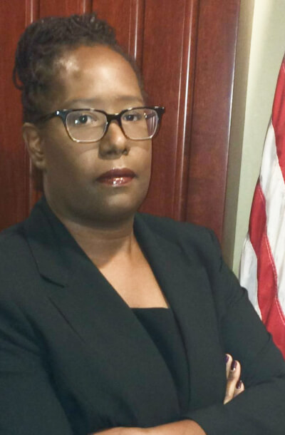
Heather C. Ford is the founder and Managing Attorney at Ford Injury Firm, a reputable Shreveport-based law firm focused on personal injury, traffic violations, and misdemeanor cases. A proud Louisiana native, Heather earned her bachelor’s degree in Chemistry from Dillard University before obtaining her Juris Doctor from Loyola University New Orleans.
At Ford Injury Firm, Heather leverages her extensive knowledge of Louisiana law to offer personalized and aggressive representation to clients facing a range of legal challenges. Whether dealing with the aftermath of car, truck, motorcycle, or pedestrian accidents, or addressing traffic-related charges such as speeding tickets and DUI/DWI offenses, Heather is dedicated to protecting her clients’ rights and securing the best possible outcomes.